
Offshore & Underwater Construction
Our seafloor intelligence supports offshore energy developers, EPCs, and operators with high-resolution, non-invasive insights to help de-risk projects, accelerate delivery, and support long-term asset performance while meeting environmental and regulatory requirements, now and in the future.
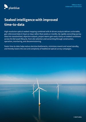
Seabed intelligence with improved time-to-data
High-resolution optical seabed mapping combined with AI-driven analysis delivers actionable, geo-referenced data in hours or days rather than weeks or months. By rapidly converting survey data into standardized, objective outputs, project teams gain early clarity on seabed conditions across the full asset lifecycle, from site selection and consenting through construction, operation, monitoring, and decommissioning. Faster time-to-data helps reduce decision bottlenecks, minimizes rework and vessel standby, and thereby lowers the cost and complexity of traditional optical survey campaigns.
Find more information in our handout!

PlanBlue’s subsea mapping capabilities support a wide range of offshore energy and underwater construction use cases, including:
Environmental Impact Assessment (EIA) & Baseline Surveys
High-resolution characterization of physical, biological, and geological seabed features establishes robust pre-construction environmental baselines. Non-invasive optical surveys enable standardized biodiversity assessments and long-term monitoring, supporting consenting and compliance with evolving frameworks such as the EU Nature Restoration Law, Marine Net Gain, and project-specific permit conditions. Repeatable surveys allow developers to track recovery and demonstrate environmental performance throughout the project lifecycle.
Construction & Installation Support
Our data supports export and inter-array cable routing, foundation placement, anchoring, and trenching operations. Clear visibility of seabed conditions reduces uncertainty during installation, helps avoid sensitive habitats or unsuitable ground conditions, and prevents costly delays and rework. Digitally streamlined, semi-autonomous optical surveys can deliver faster results with fewer offshore days compared to traditional optical survey approaches.
Asset Integrity & Condition Monitoring
Repeated surveys enable condition monitoring of critical subsea assets such as cables, foundations, pipelines, and platforms. Early detection of seabed change, exposure, or disturbance supports proactive maintenance planning, reduces unplanned outages, and helps optimize O&M strategies. This improves asset availability and reliability while lowering lifecycle costs for offshore wind farms and subsea infrastructure.
Regulatory Compliance & Stakeholder Reporting
Our data products support communication with regulators, permitting authorities, investors, insurers, and other stakeholders. Digitally traceable and auditable records strengthen compliance, improve transparency, and help future-proof projects against tightening environmental reporting and ESG requirements.
Nature-Positive Design & Restoration Planning
Seabed data provides insight beyond direct construction footprints, revealing broader ecosystem stressors and recovery patterns. By re-analyzing collected datasets, root causes of environmental impact can be identified, enabling targeted mitigation, restoration, and compensation measures. This supports a shift from impact mitigation toward nature-positive offshore development, including habitat restoration and biodiversity enhancement.
Cost-Efficient & Sustainable Offshore Operations
Comprehensive optical data capture (RGB and hyperspectral) in a single offshore deployment enables environmental assessment, installation support, monitoring, and reporting to be derived from the same dataset. This can significantly reduce repeat surveys, vessel days, and fuel consumption. The result is lower project costs, reduced carbon footprint, and offshore developments better aligned with ESG, sustainability, and net-zero objectives.
Fully-automated seafloor intelligence for smarter maritime surveys.
We made cookies. Would you like some?
We use Google Analytics to improve your website experience and YouTube to show you video content. By clicking "Accept" you are agreeing to the placement and use of cookies as described in our Privacy Policy. Thanks for reading and enjoy your stay on our website.