From seabed to cloud: PlanBlue featured in Hydro International
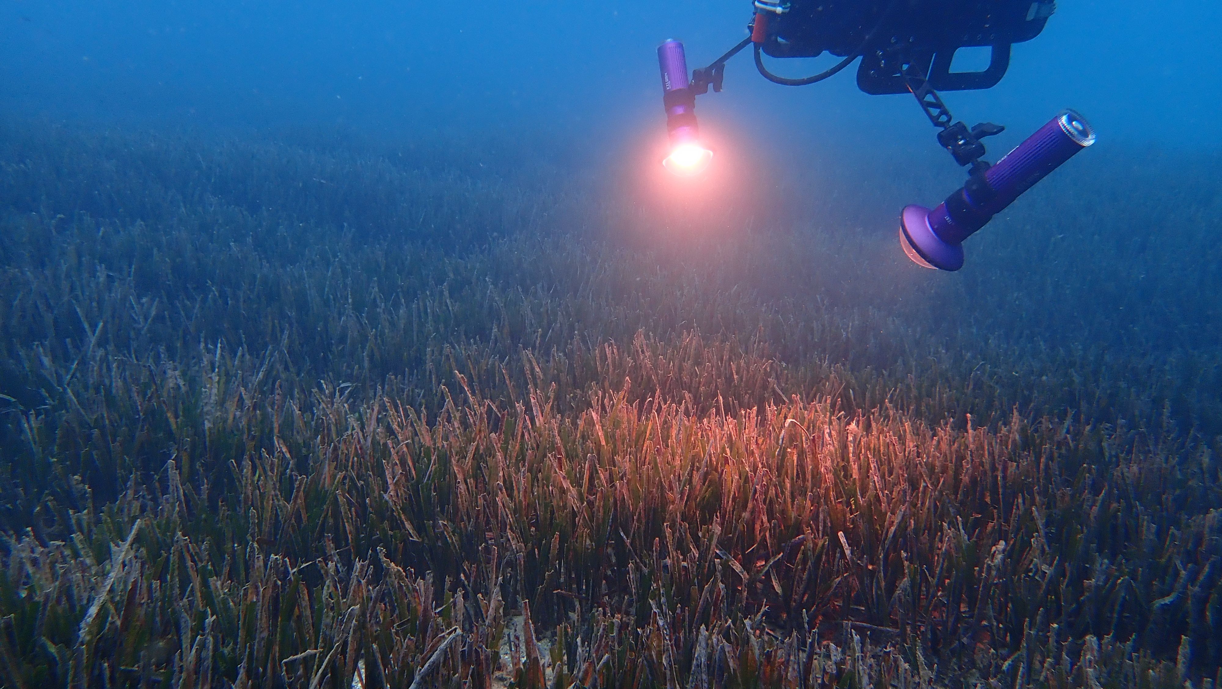
DiveRay mapping seagrass in Nice, France.
Every day our engineers work tirelessly to push our technology to the next level of accuracy and speed to support nature-based solutions to climate change and the protection of biodiversity in the ocean. We're thrilled to share that their work has been featured in the reputable trade magazine, Hydro International. The article, authored by our founders Guy Rigot and Raja Kandukuri, titled "From Seabed to Cloud: Groundtruthing Seagrass Data", delves into detail of how our technology can accelerate time-to-data and enhance the accuracy of seafloor mapping.
The ocean plays a crucial role in mitigating climate change, yet there's a lack of detailed information about over 95% of the seafloor. The article discusses how we combine underwater hyperspectral imaging (UHI), RGB imaging, and underwater navigation, all powered by an AI-driven data processing pipeline. Our technology can handle challenges related to geolocation, water column distortion, and motion distortion, ultimately aiding in the restoration of marine ecosystems and the blue carbon market.
Traditional methods of ground truthing aerial and satellite data have been labour-intensive, but our technology offers near in-situ remote sensing capabilities, reducing the time required to collect data. Moreover, our detailed data normalization processes ensure that results can be meaningfully compared over time and across different locations. By providing detailed insights into seafloor conditions, our technology has the potential to transform marine conservation and bolster the credibility of for example blue carbon projects, attracting investors and fostering market growth.
We're committed to advancing the understanding of our oceans and their vital role in our environment. We invite you to read the full article in Hydro International to learn more about our technology and the challenges that we have overcome.
Here is more from us

7.6.2024
Closing the data gap: PlanBlue featured in International Hydrographic Review
Following a passionate talk from our Co-founder and CSO Hannah Brocke at last year’s Hydrographic Conference HYDRO 2023 in Genoa, we got invited to write an article in the International Hydrographic Review.

4.6.2024
Habitat mapping for offshore wind MRV made easy
How hyperspectral imaging and machine learning provide fast and accurate EIA data
Fully-automated seafloor intelligence for smarter maritime surveys.
We made cookies. Would you like some?
We use Google Analytics to improve your website experience and YouTube to show you video content. By clicking "Accept" you are agreeing to the placement and use of cookies as described in our Privacy Policy. Thanks for reading and enjoy your stay on our website.