Scalable insights
Data Products for your specific needs
Our fully-automated software pipelines extract a wide range of data products from the same dataset in just hours, tailored to your specific needs and markets through the use of hyperspectral and RGB imaging, geo-referencing, and AI.
Orthoimagery
We produce high-resolution, geo-referenced stitched maps of the seafloor (1x1 mm accuracy), which serve as the foundation for our other data products. Our automated processes eliminate distortions caused by the water column, delivering crystal-clear maps.
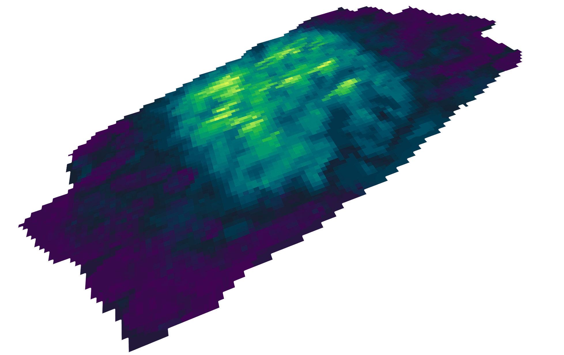


Our fully-automated software pipelines extract a wide range of data products from the same dataset in just hours, tailored to your specific needs and markets through the use of hyperspectral and RGB imaging, geo-referencing, and AI.

Find more information in our hyperspectral handout!
Fully-automated seafloor intelligence for smarter maritime surveys.
We made cookies. Would you like some?
We use Google Analytics to improve your website experience and YouTube to show you video content. By clicking "Accept" you are agreeing to the placement and use of cookies as described in our Privacy Policy. Thanks for reading and enjoy your stay on our website.